Montenegro, a small Balkan country situated on the Adriatic Sea, is a paradise for outdoor enthusiasts. The country boasts of stunning landscapes, rugged mountains, and pristine lakes, making it an ideal destination for hiking and trekking. Among the many hiking trails in Montenegro, the Prutas peak in Durmitor National Park stands out for its stunning views and challenging terrain.
Durmitor National Park

Durmitor National Park is a mountain range located in northern Montenegro, near the border with Bosnia and Herzegovina. It is a UNESCO World Heritage Site and a paradise for hikers and nature lovers renowned for its rugged peaks, crystal-clear lakes, and unique flora and fauna.
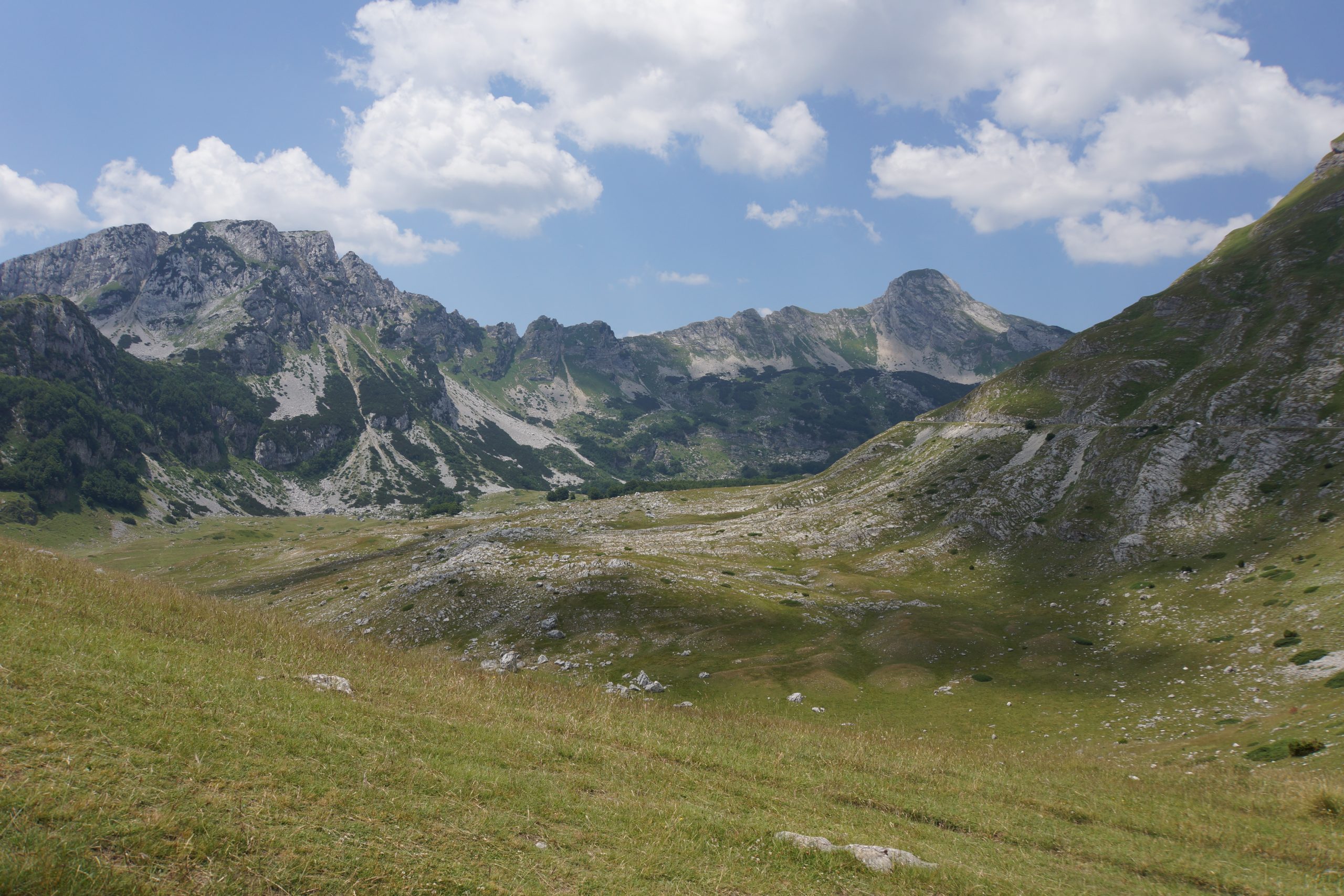
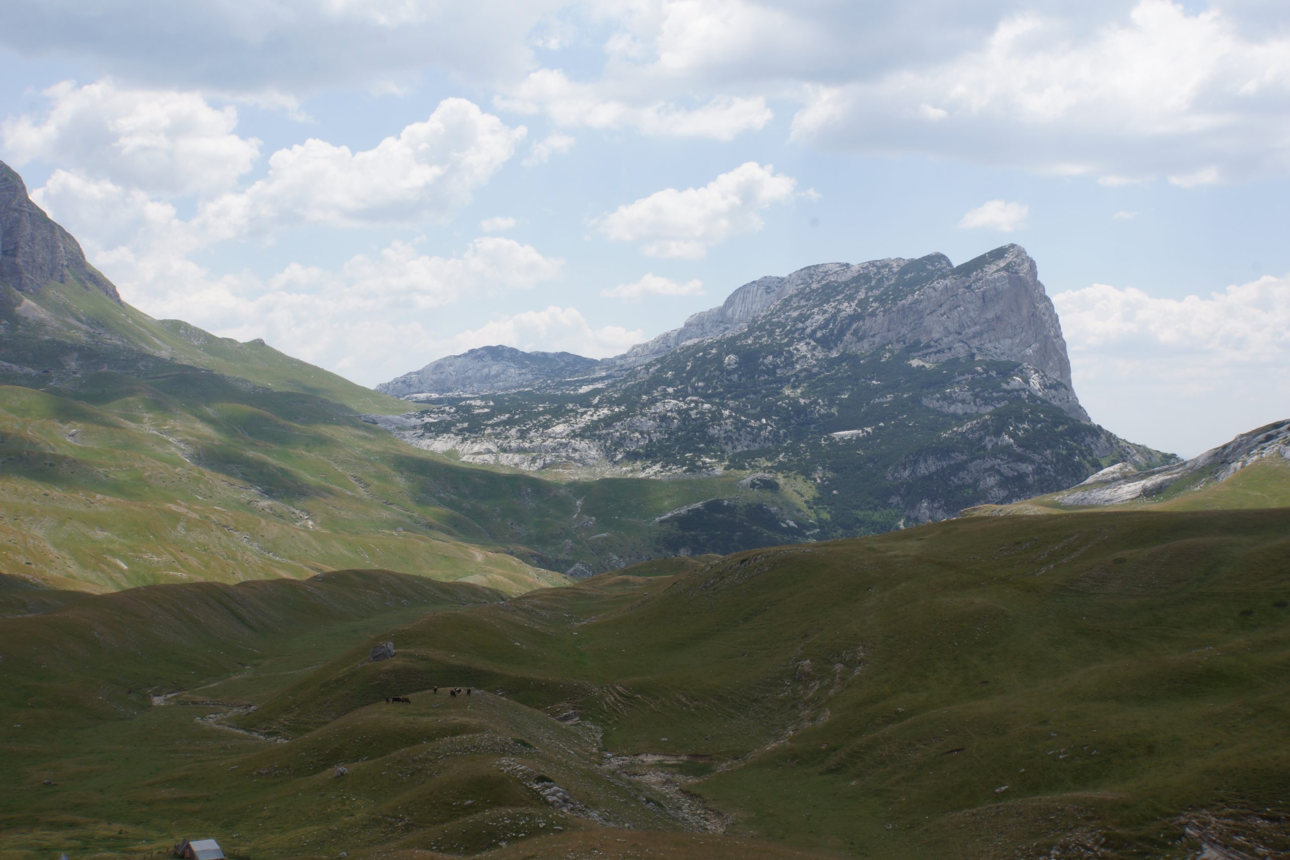
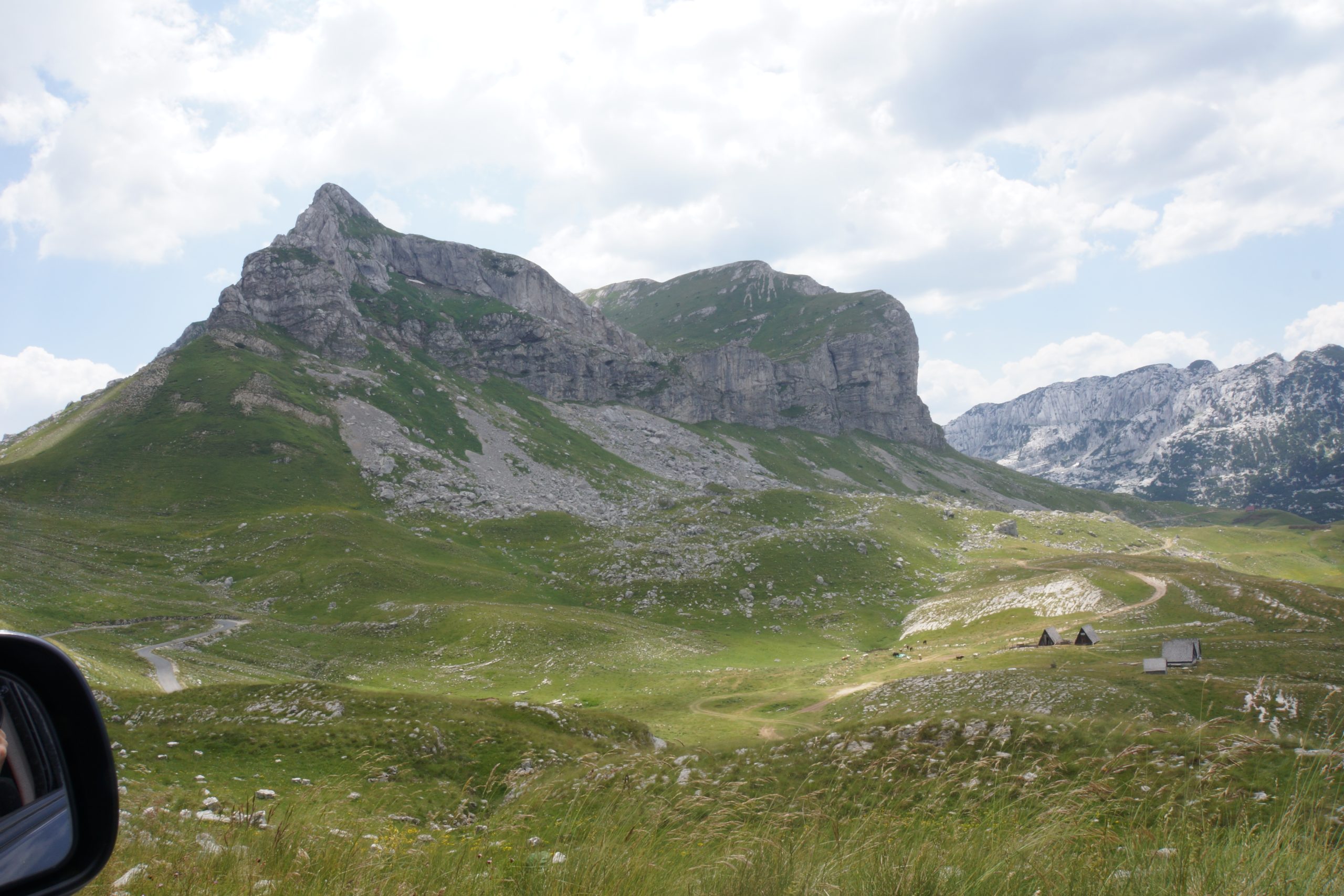
Durmitor National Park also boasts many incredible peaks and hiking trails that are definitely worth exploring. Some of the most popular peaks in Durmitor include Bobotov Kuk (2,523 meters), Planinica (2,316 meters), and Medjed (2,287 meters).
Bobotov Kuk, the highest peak in Durmitor, is a challenging hike that offers spectacular views of the park and the surrounding mountains. The trail starts in the town of Zabljak and winds its way up through forests and rocky terrain. The final ascent to the summit is steep and requires some rock scrambling, but the views from the top are well worth it.
Planinica, located in the heart of Durmitor, is a less challenging hike that still offers incredible views of the park. The trail starts in the village of Nedajno and follows a well-marked path through forests and meadows. The final ascent to the summit is steep but not as challenging as some of the other peaks in the park.
Medjed, located on the southern edge of Durmitor, is a relatively easy hike that is suitable for beginners. The trail starts in the village of Virak and follows a gentle ascent through forests and meadows. The summit offers incredible views of the surrounding mountains and the Tara River Canyon.
Prutaš
Climbing Prutas peak in Durmitor National Park is a challenging and rewarding experience that requires a certain level of fitness and experience. The peak stands at an elevation of 2,393 meters, making it one of the highest peaks in the park.
Prutas is easy accessible from Zabljak – Sedlo – Trsa macadam/country road, which passes along the southern and western foot of Prutas.The climb to the summit of Prutas starts in small village of Todorov Do, which is located at an altitude of 1,800 meters.
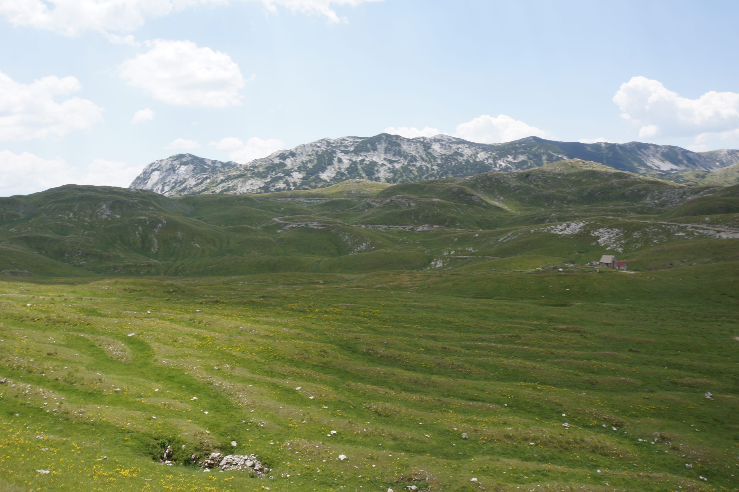

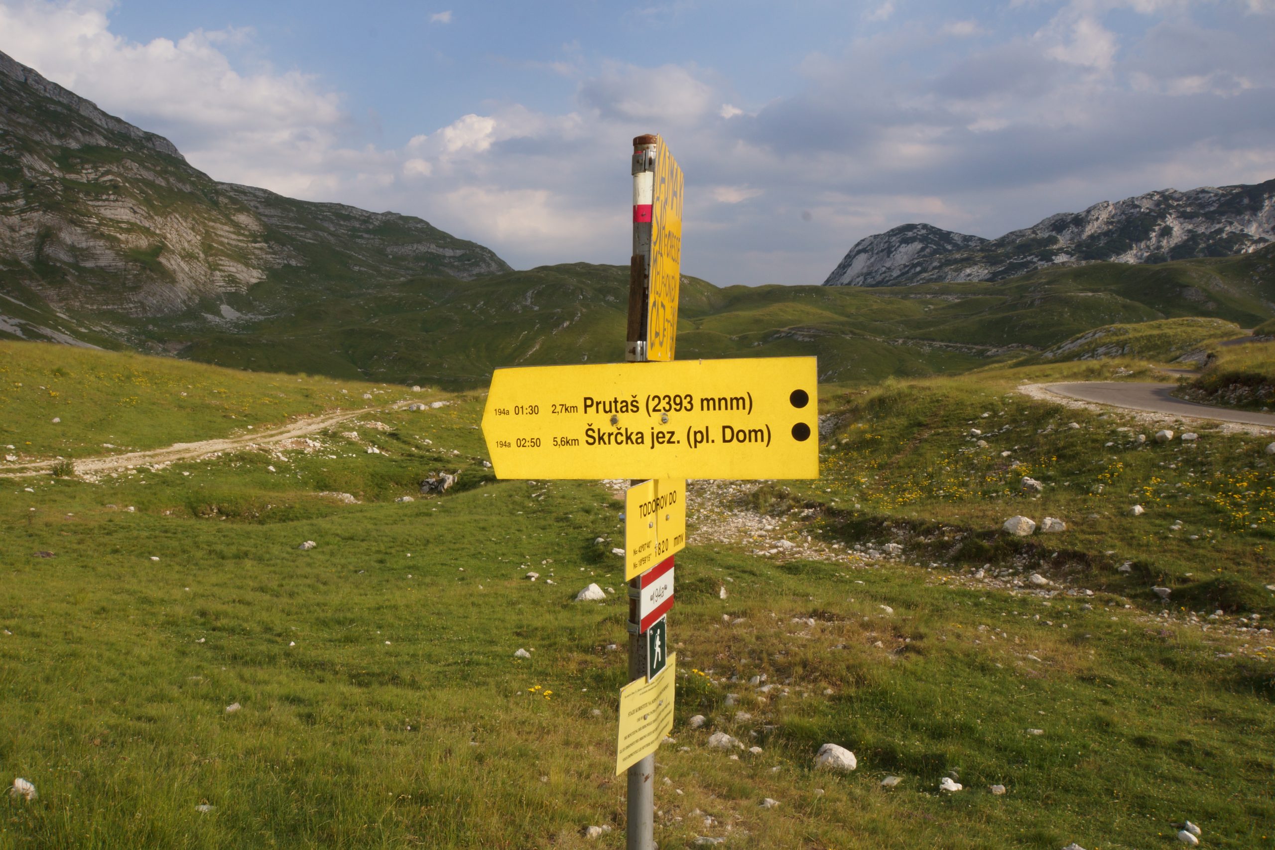
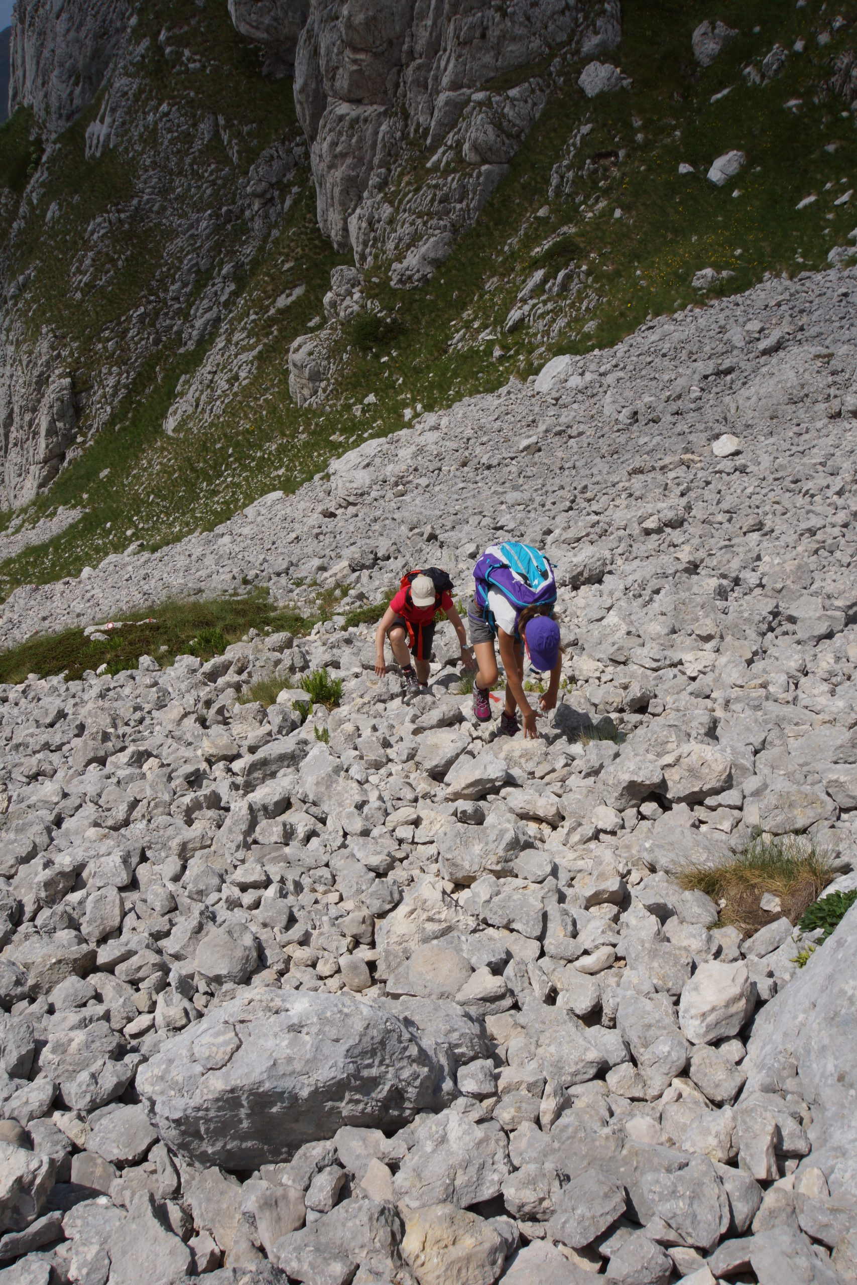
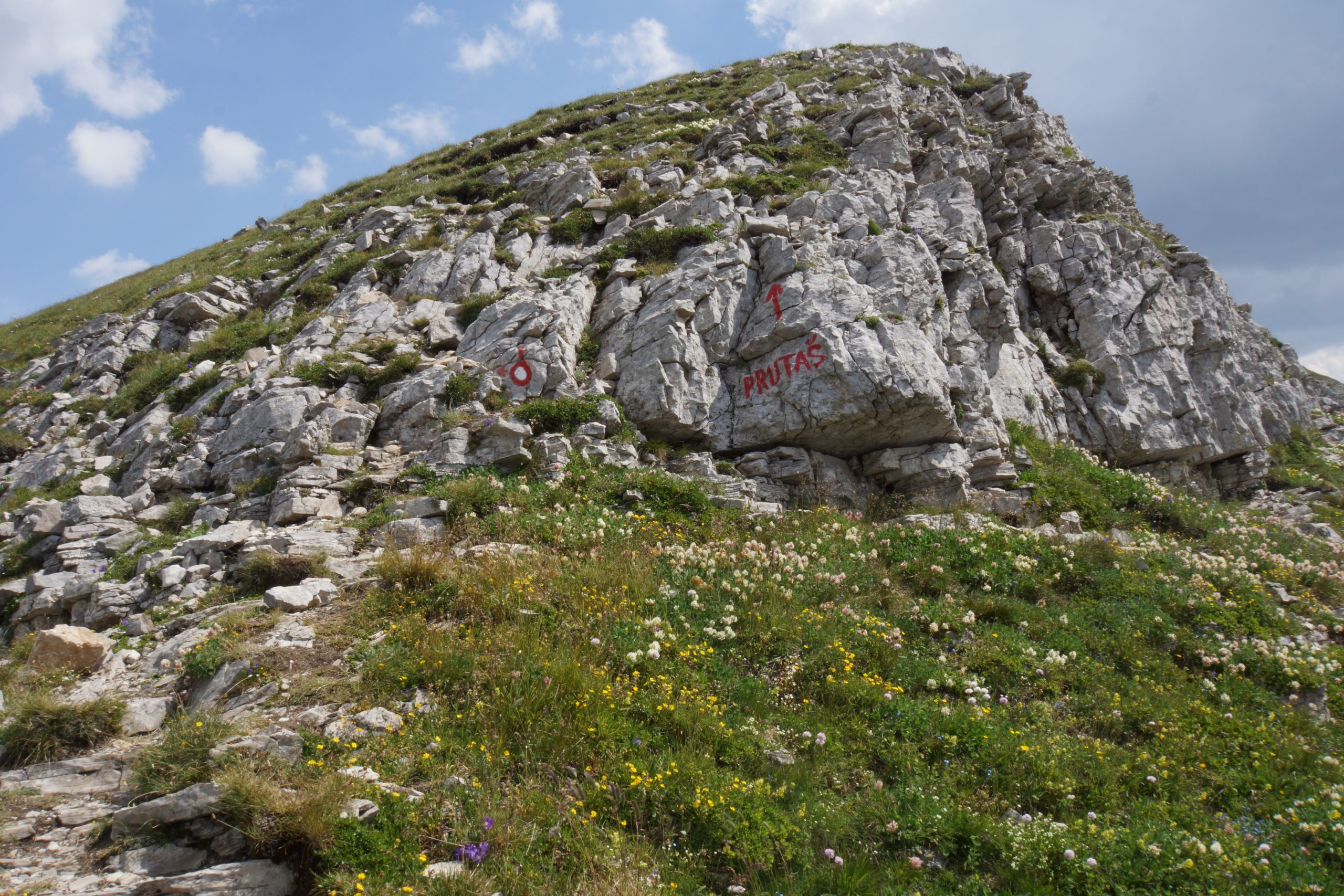
The trail from Todorov Do to Prutas peak is well-marked and starts with a steep climb. The trail is rocky and uneven in some sections, so it’s important to have good hiking boots and proper equipment. As you make your way higher, the terrain becomes more challenging, with steep climbs and rocky outcrops.
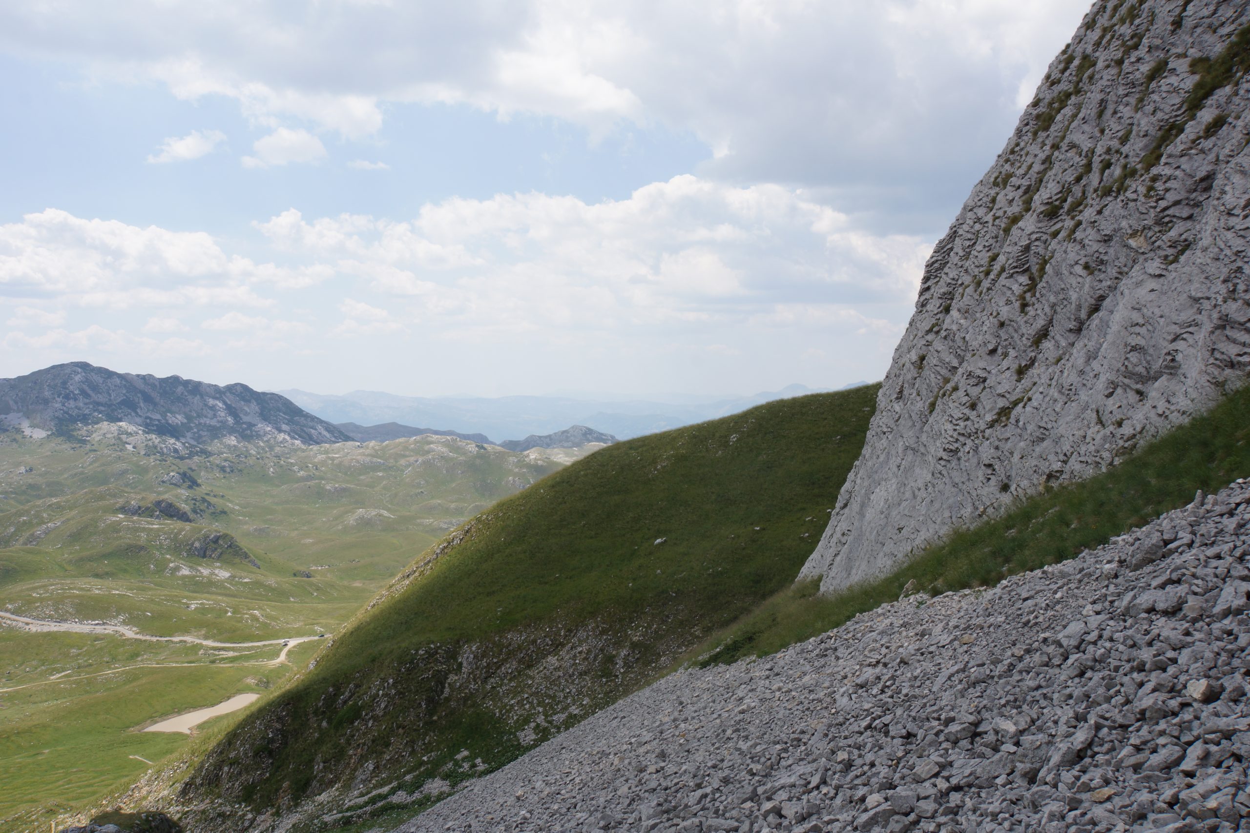
As you approach the summit, the trail becomes steeper and more exposed. You will pass through rocky terrain and climb up steep scree slopes before reaching the final ridge that leads to the summit of Prutas peak.

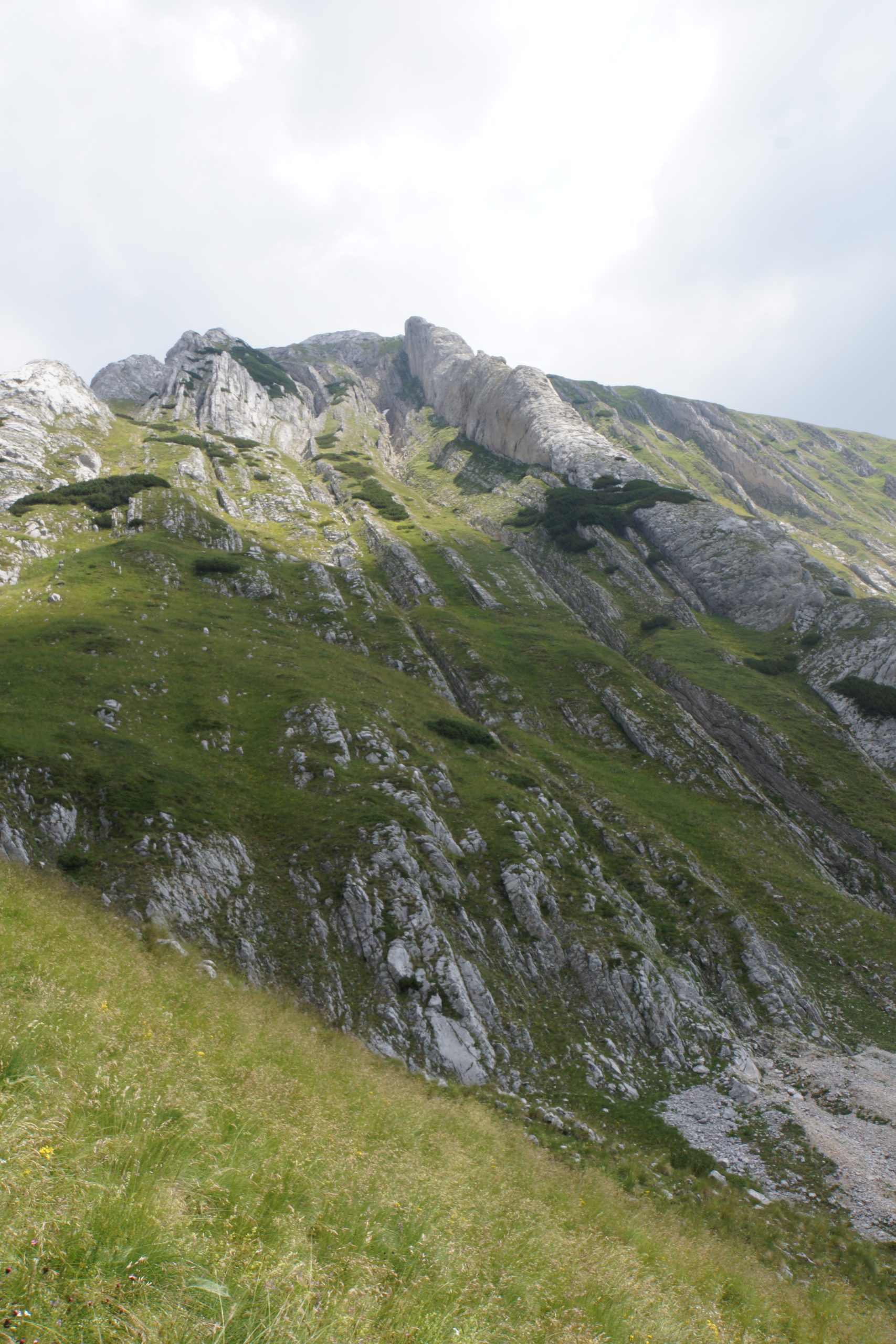
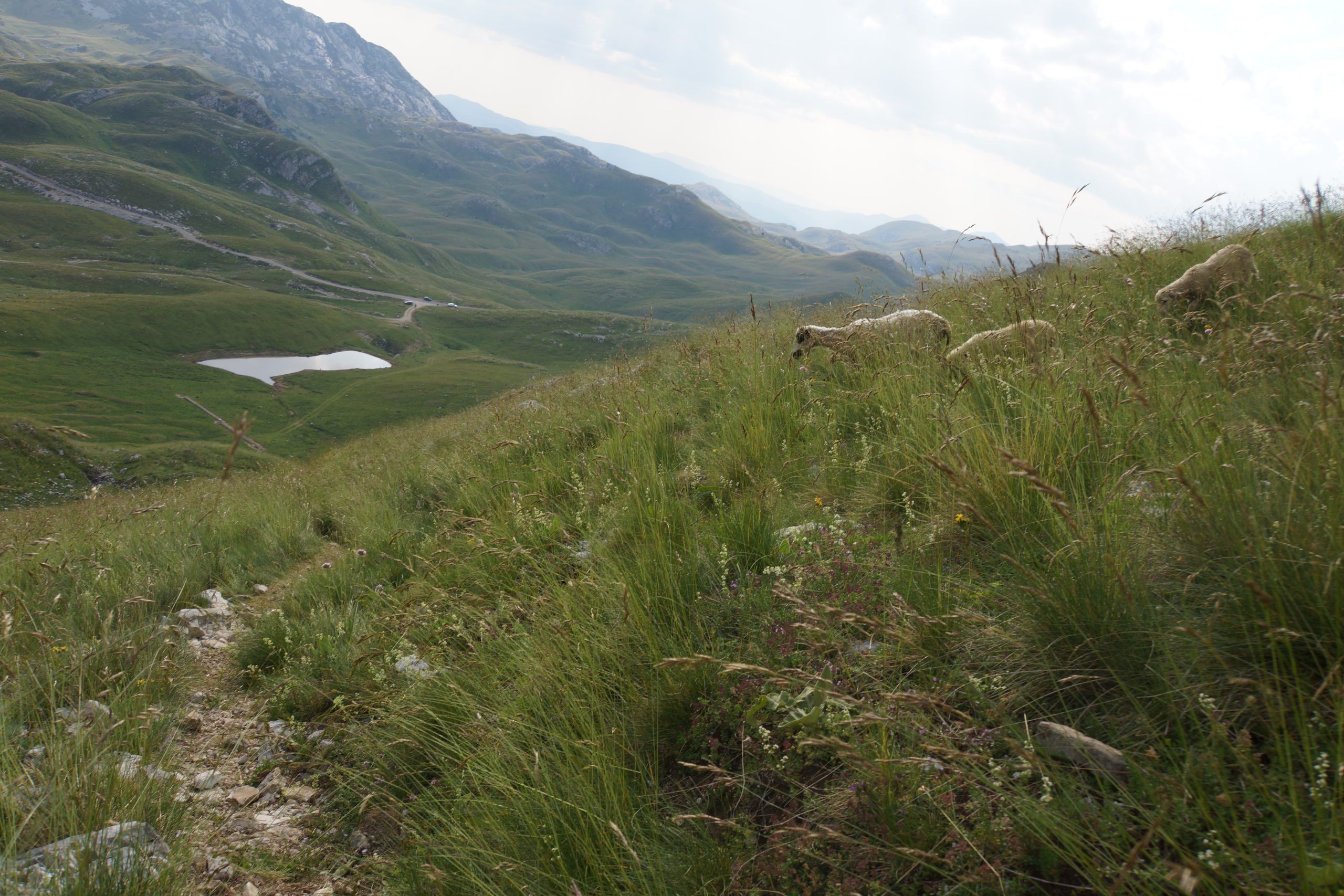
Climbing Prutas peak requires a good level of fitness, as the hike is challenging and can take several hours to complete. It’s also important to be prepared for changing weather conditions, as temperatures can drop quickly at higher elevations. Bringing plenty of water, snacks, and warm clothing is essential.
It’s recommended that you climb Prutas peak with a guide or an experienced hiker who knows the trail and the surrounding area. This will ensure that you have a safe and enjoyable climb.
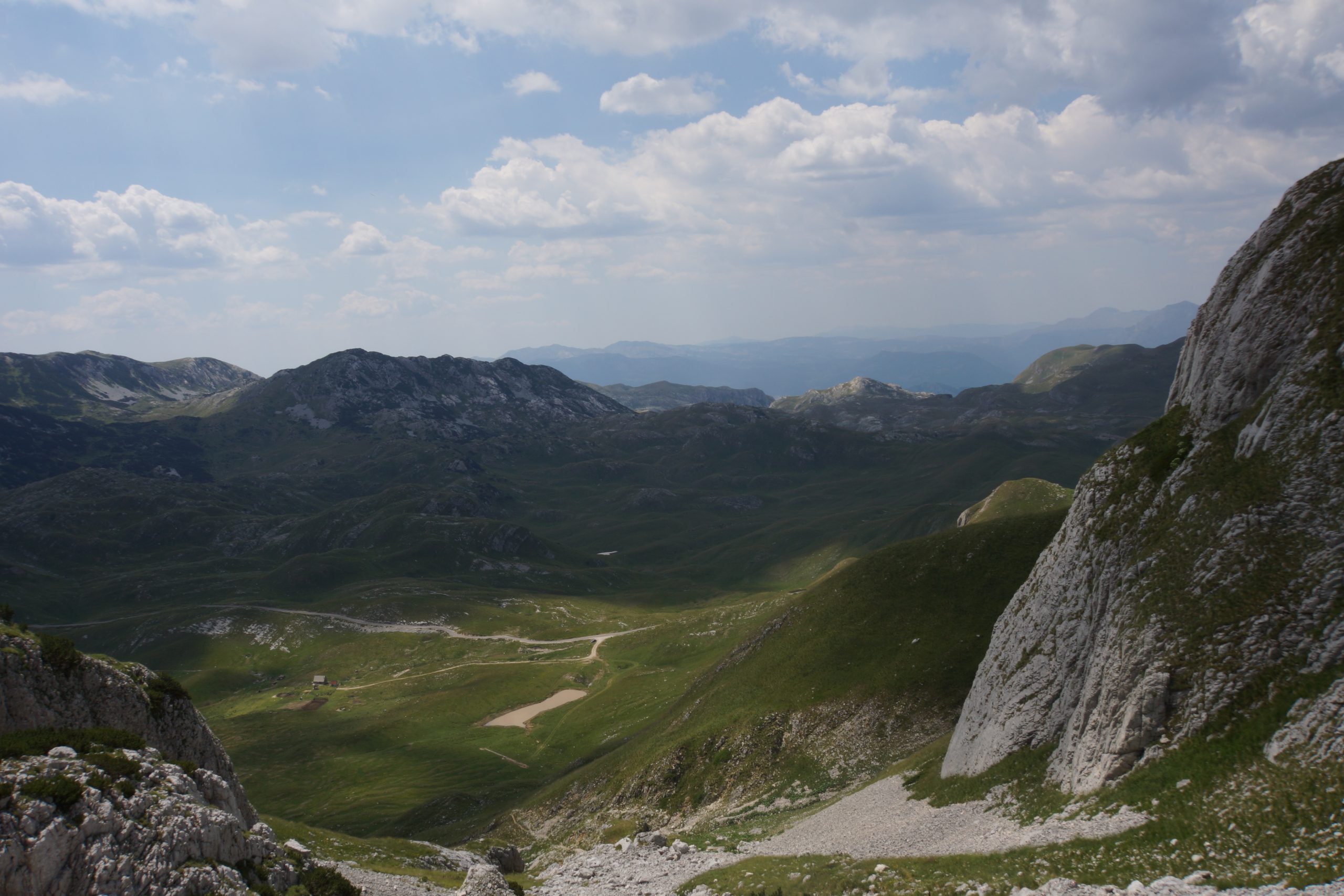
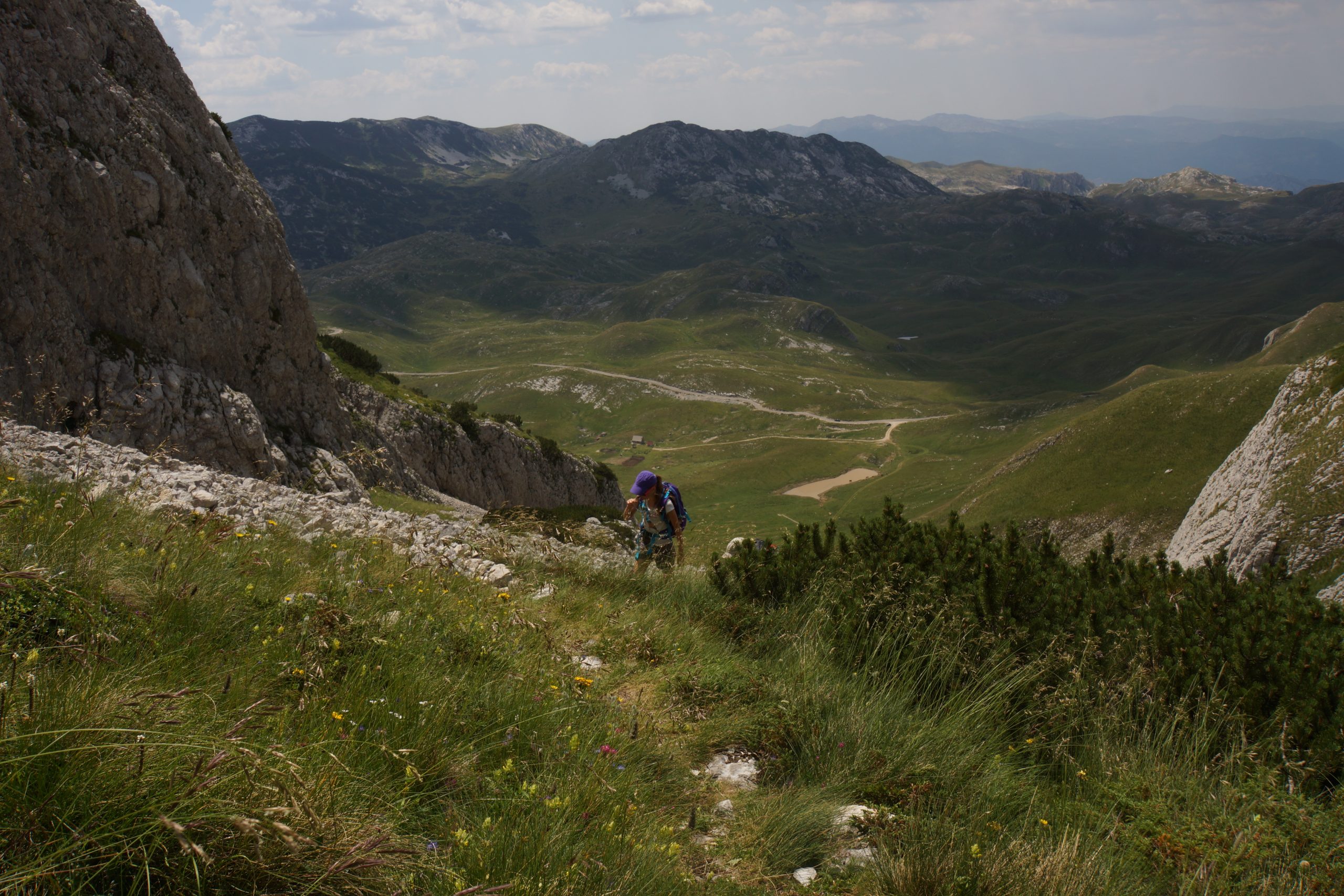
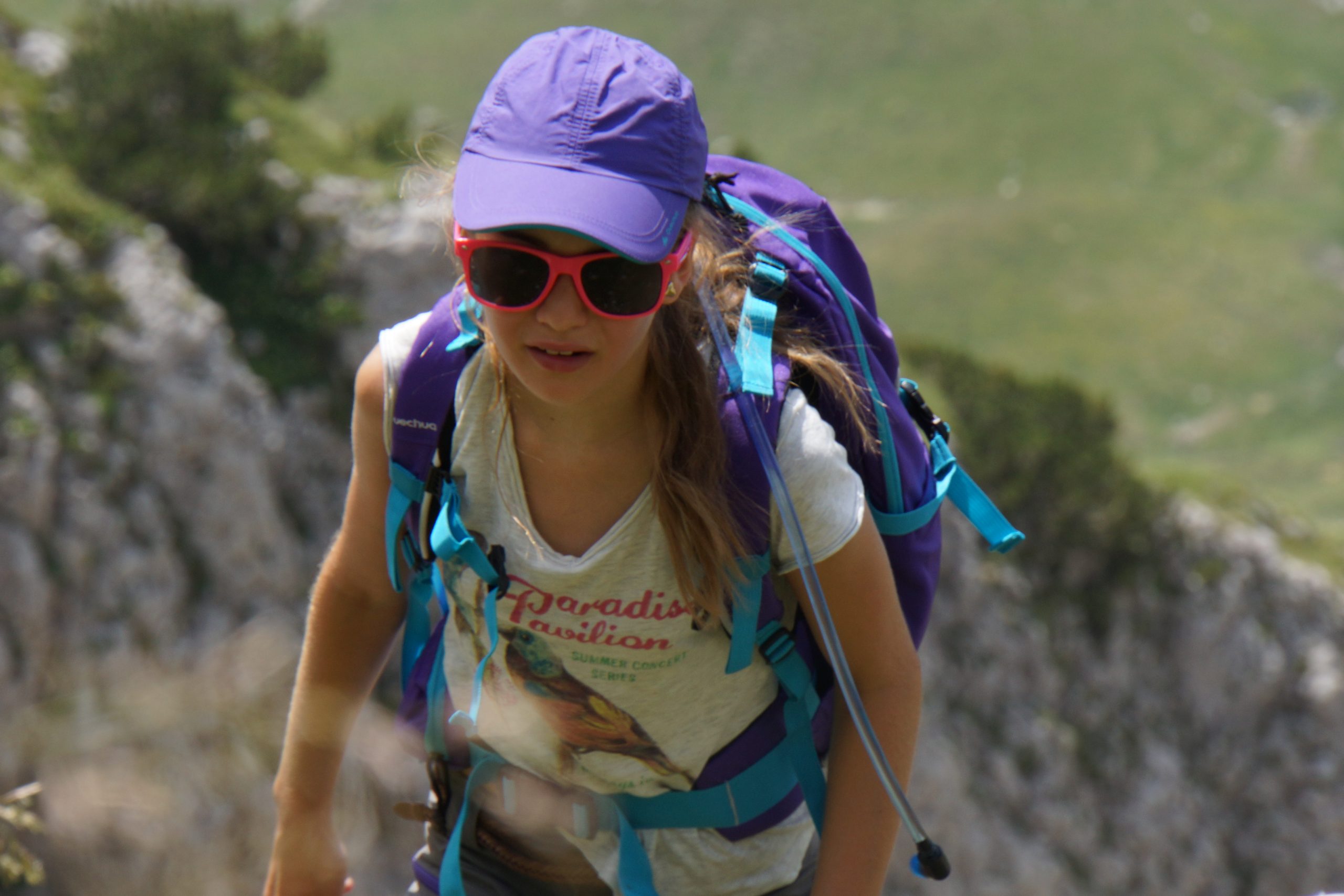
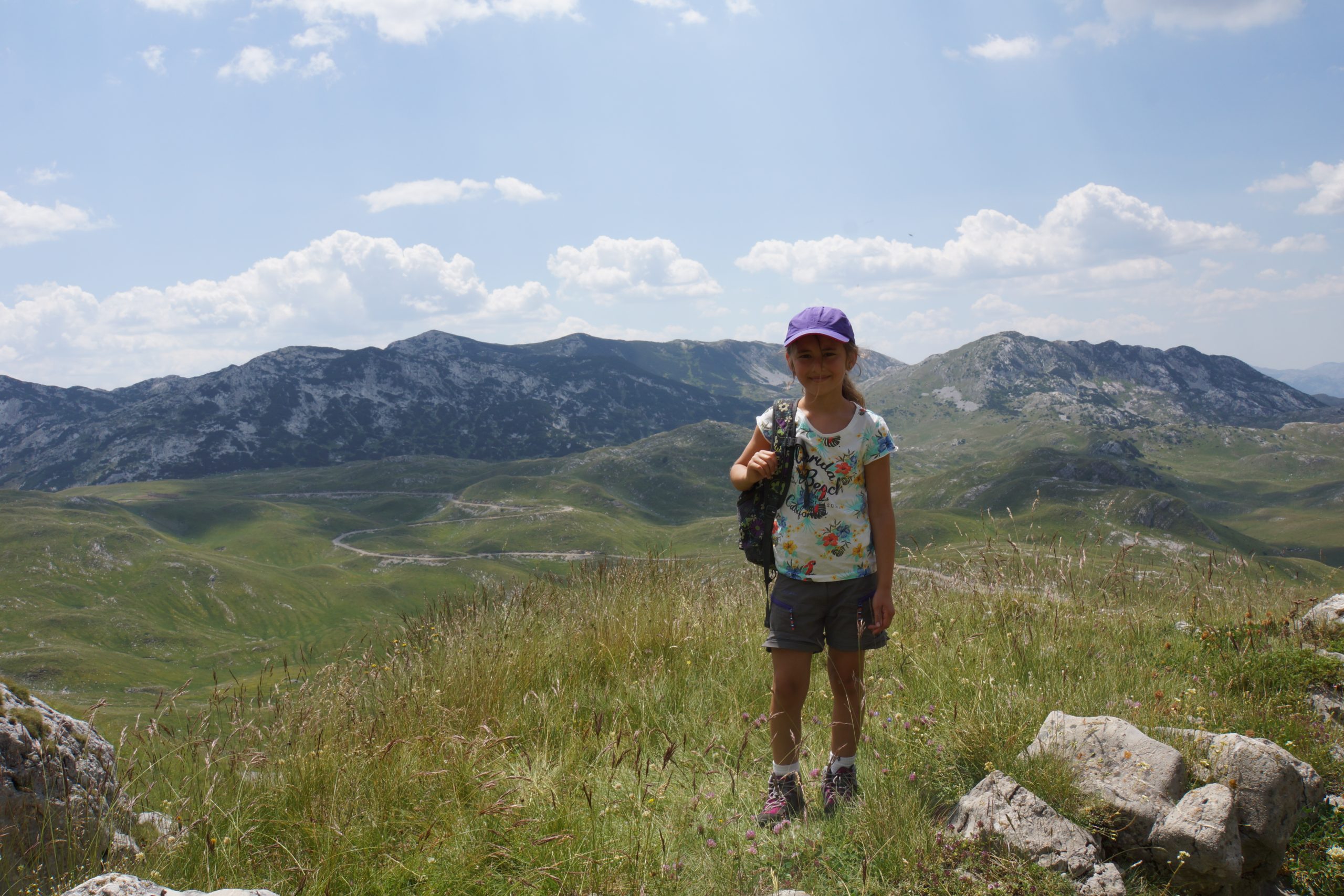
The final ascent to the summit is the most challenging part of the hike, with some steep and exposed sections. However, the stunning views from the summit make the effort worth it. From the top, you can see the surrounding peaks, deep blue lakes, and the vast forested valleys of Durmitor National Park.
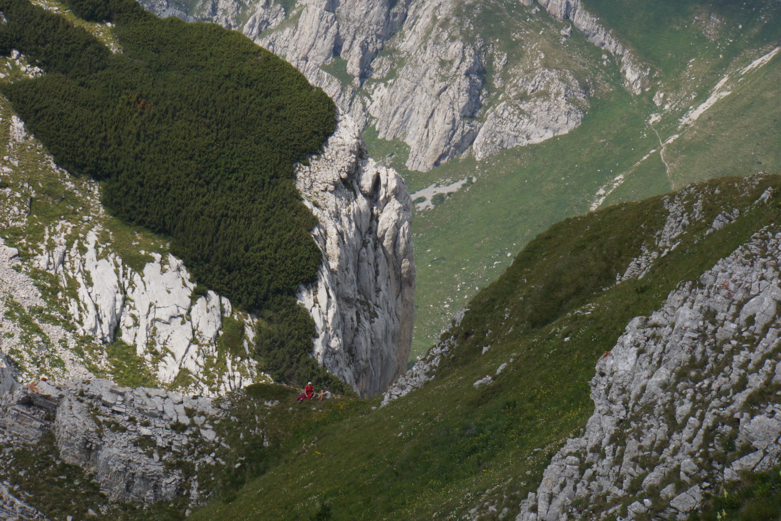
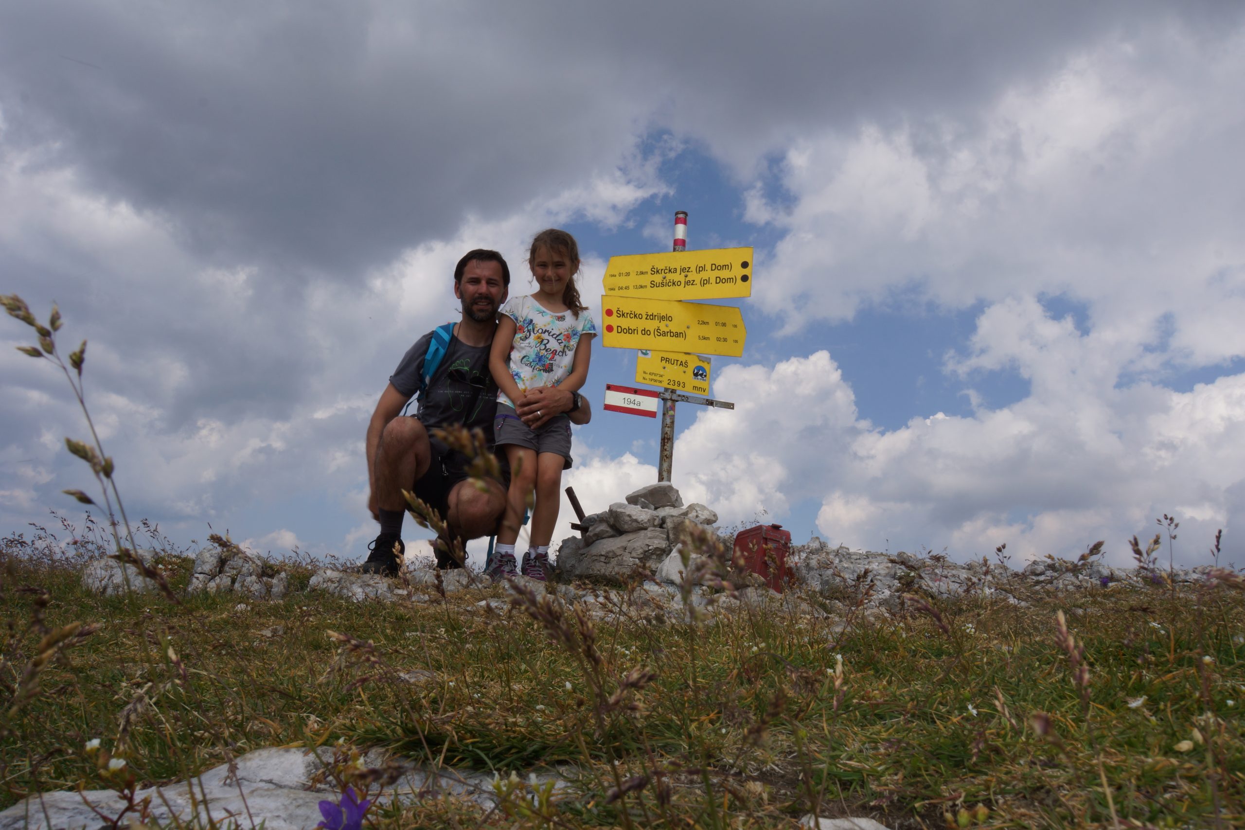
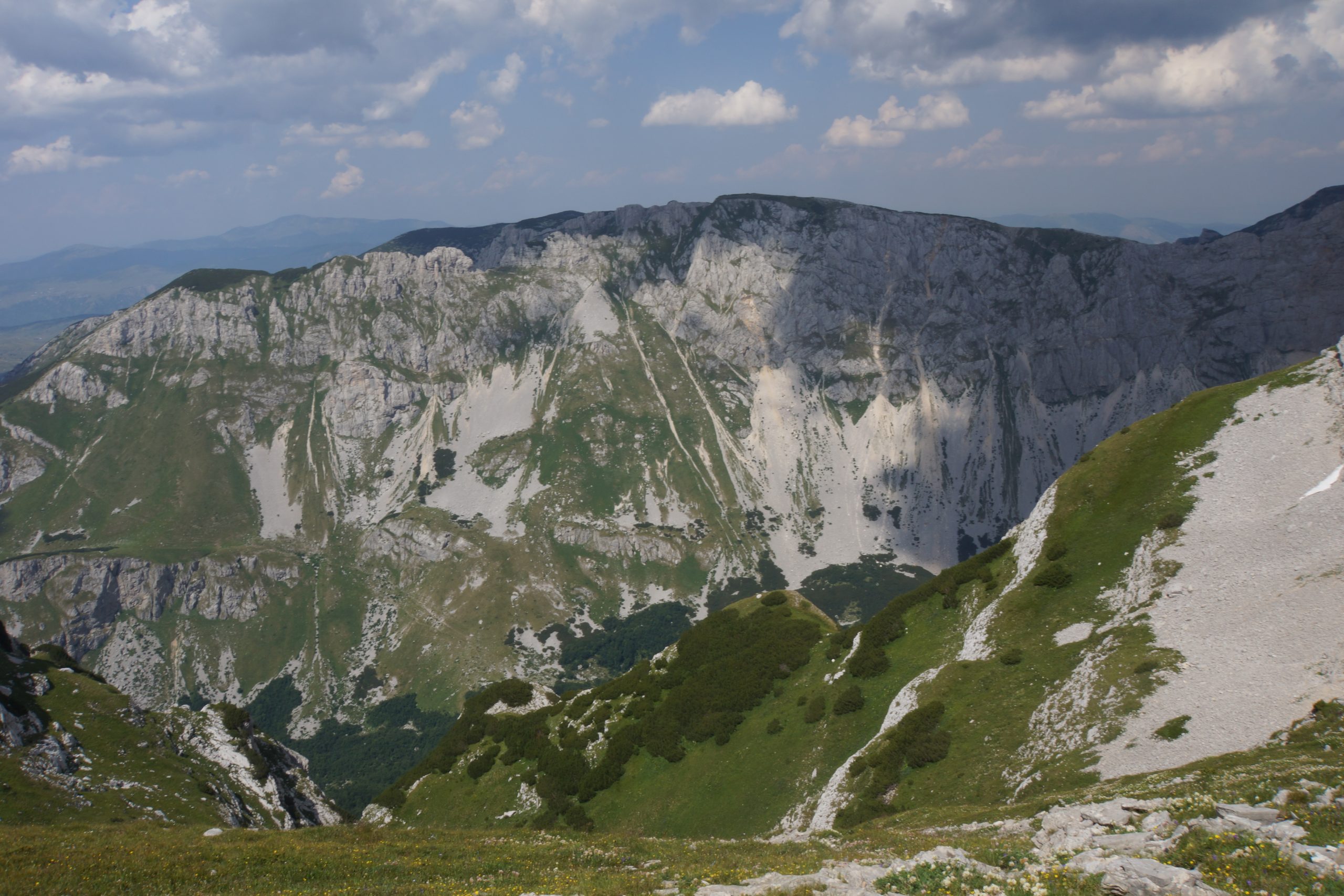
The view provides an unobstructed view of Skrka Valley and the highest peaks of Durmitor, including Bobotov Kuk (2523 m) and Bezimeni Vrh (2487 m), which majestically dominates above Skrka Valley in the northeast direction. To the right of Prutas lies the colorful Stit (2248 m) with its unique and vibrant layers, situated in the east. In the north, you can see the Susica canyon and Ljubisnja mountain in the distance. On the south side, vast grassy plateaus and basins of Durmitor stretch out, including Sedlena Greda (2227 m), Boljska Greda, Lojanik, and the entrance to the Komarnica river canyon. Further away, the Vojnik mountain can be seen. On clear days, you can catch a glimpse of the Orjen massif and the Adriatic Sea far to the south. In the west, lies the Pivska Planina, and behind it, a stunning group of mountains – Bioc, Volujak, and Maglic, the highest peak in Bosnia and Herzegovina. The view from the summit of Prutas is truly an unforgettable experience that captures the beauty and grandeur of Durmitor National Park

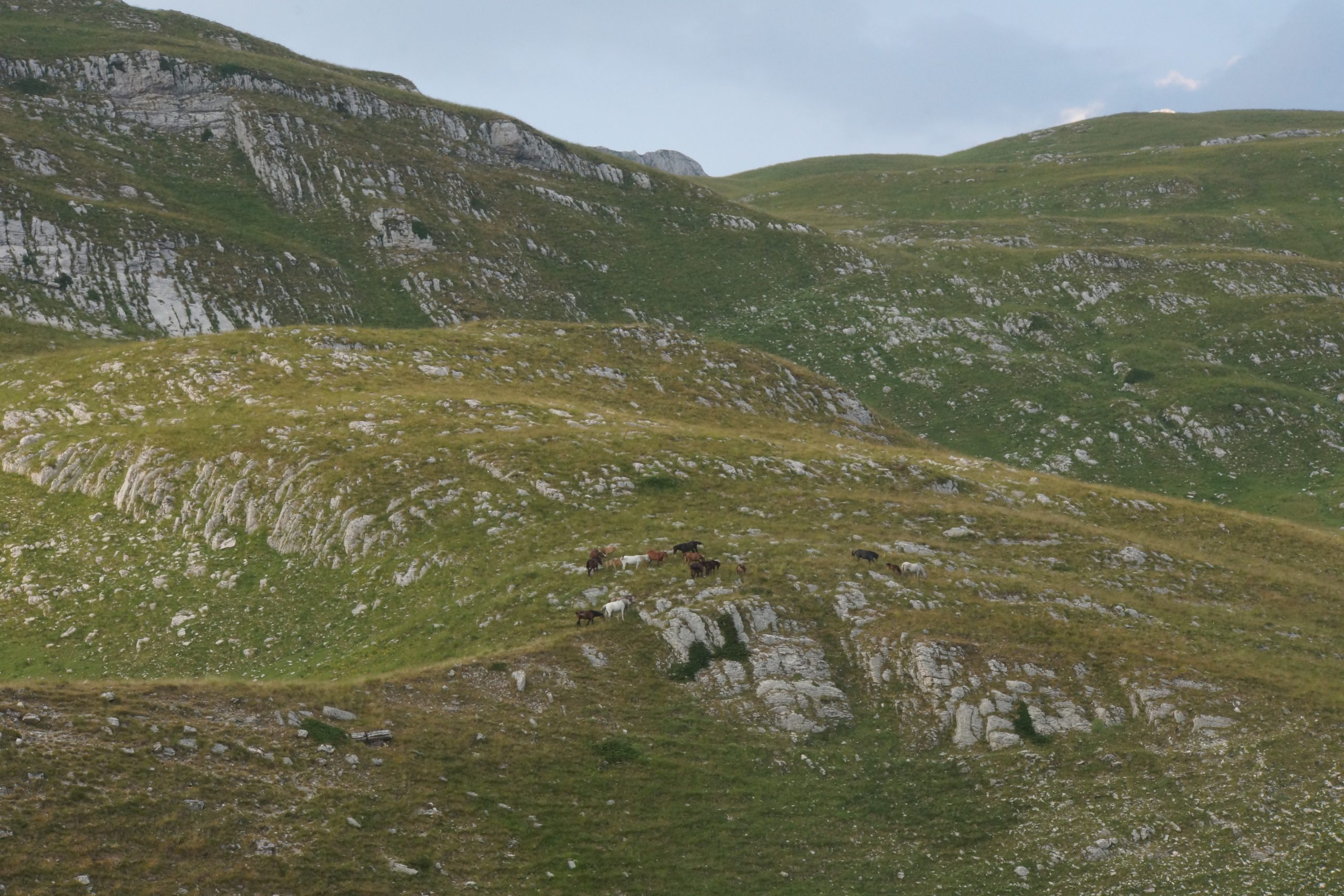
In addition to the stunning views, the trail from Todorov Do to Prutas peak also offers opportunities to see a variety of wildlife, including mountain goats and birds of prey. The trail is open from June to October, and it’s recommended that you climb with a guide or an experienced hiker who knows the trail and the surrounding area.
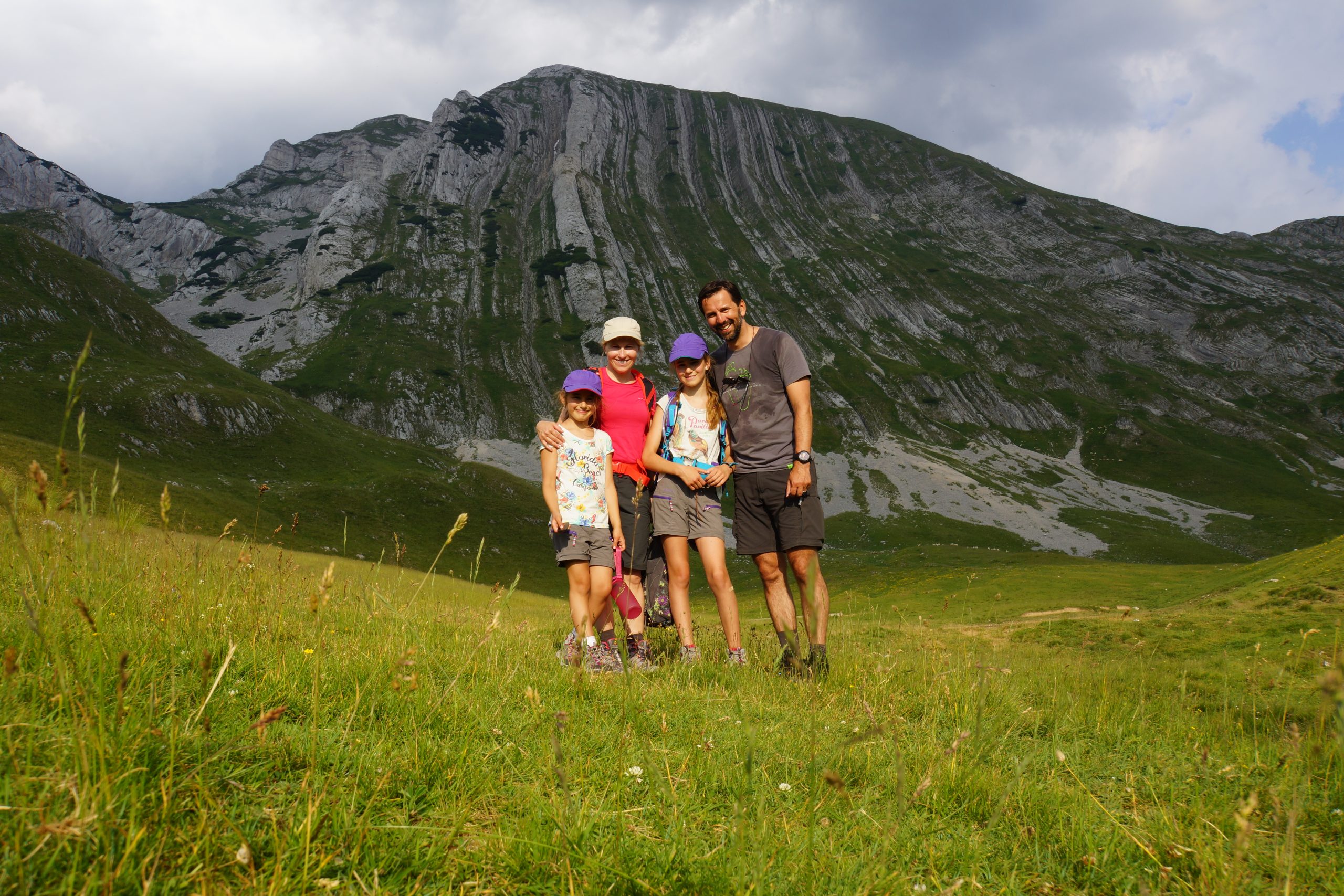
The trail from Todorov Do to Prutas peak can take between 2-3 hours, depending on your fitness level and the weather conditions

